Walkability for Different Urban Granularities
Abstract
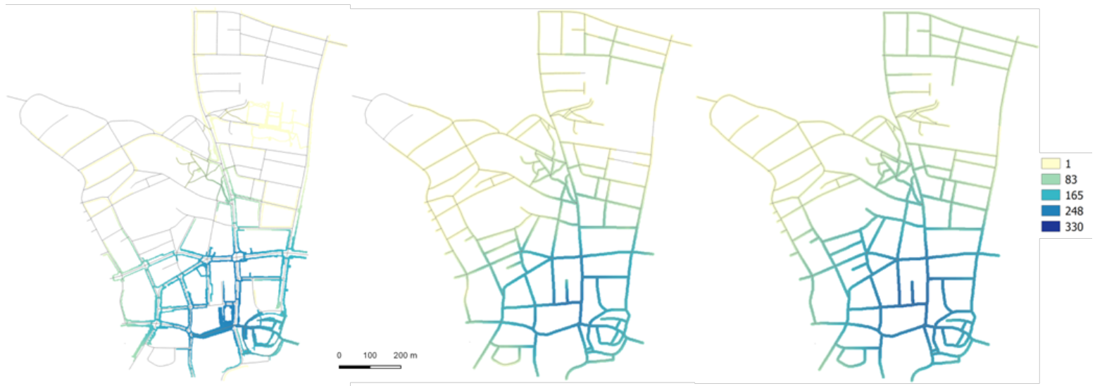
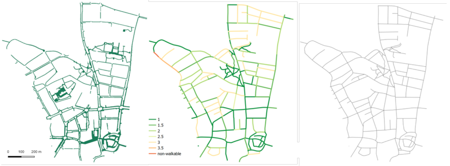
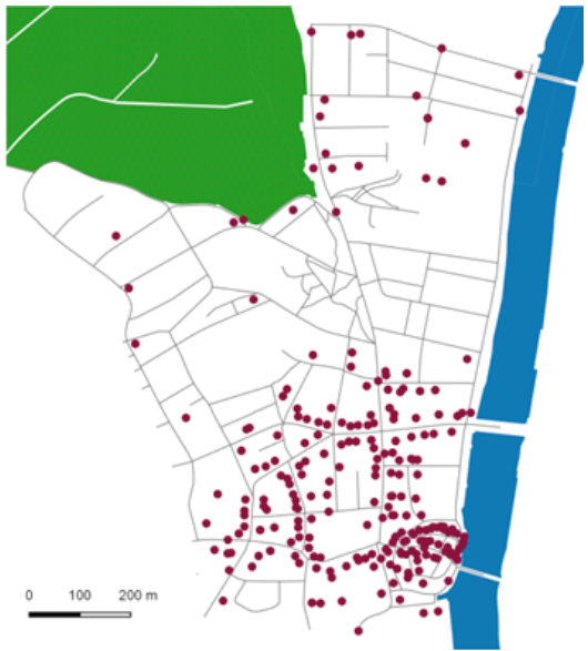
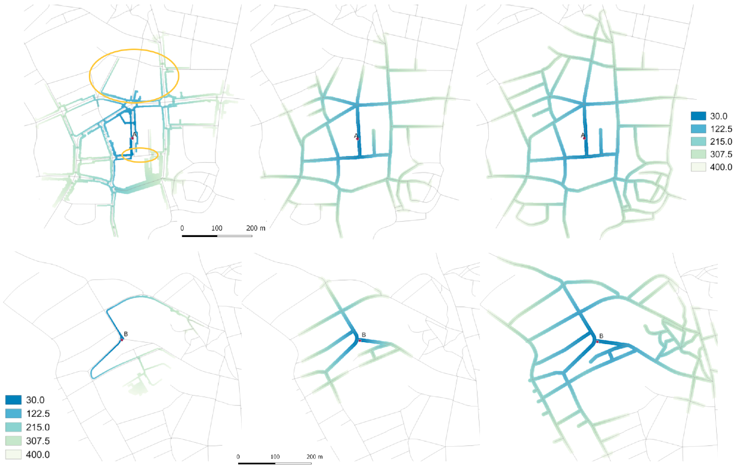
The positive effects of low-intensity physical activity are widely acknowledged and in this context walking is often promoted as an active form of transport. Under the concept of walkability the role of the built environment in encouraging walking is investigated. For that purpose, walkability is quantified area-wise by measuring a varying set of built environment attributes. In purely GIS-based approaches to studying walkability, indices are generally built using existing and easily accessible data. These include street network design, population density, land use mix, and access to destinations. Access to destinations is usually estimated using either a fixed radius, or distances in the street network. In this paper, two approaches to approximate a footpath network are presented. The two footpath networks were built making different assumptions regarding the walkability of different street types with respect to more or less restrictive safety preferences. Information on sidewalk presence, pedestrian crossings, and traffic restrictions were used to build both networks. The first network comprises car traffic free areas only. The second network includes streets with low speed limits that have no sidewalks. Both networks are compared to the more commonly used street network in an access-to-distance analysis. The results suggest that for the generally highly walkable study area, access to destination mostly depends on destination density within the defined walkable distance. However, on single street segments access to destinations is diminished when only car traffic free spaces are assumed to be walkable.
Figures
BibTeX
@article{hollenstein_walkabilityDiffUrbanGranularities_2016,
 abstract = {The positive effects of low-intensity physical activity are widely acknowledged and in this context walking is often promoted as an active form of transport. Under the concept of walkability the role of the built environment in encouraging walking is investigated. For that purpose, walkability is quantified area-wise by measuring a varying set of built environment attributes. In purely GIS-based approaches to studying walkability, indices are generally built using existing and easily accessible data. These include street network design, population density, land use mix, and access to destinations. Access to destinations is usually estimated using either a fixed radius, or distances in the street network. In this paper, two approaches to approximate a footpath network are presented. The two footpath networks were built making different assumptions regarding the walkability of different street types with respect to more or less restrictive safety preferences. Information on sidewalk presence, pedestrian crossings, and traffic restrictions were used to build both networks. The first network comprises car traffic free areas only. The second network includes streets with low speed limits that have no sidewalks. Both networks are compared to the more commonly used street network in an access-to-distance analysis. The results suggest that for the generally highly walkable study area, access to destination mostly depends on destination density within the defined walkable distance. However, on single street segments access to destinations is diminished when only car traffic free spaces are assumed to be walkable.},
 author = {Hollenstein, Daria and Bleisch, Susanne},
 doi = {10.5194/isprsarchives-XLI-B2-703-2016},
 journal = {ISPRS - International Archives of the Photogrammetry, Remote Sensing and Spatial Information Sciences},
 pages = {703--708},
 title = {{Walkability} {for} {Different} {Urban} {Granularities}},
 url = {http://www.int-arch-photogramm-remote-sens-spatial-inf-sci.net/XLI-B2/703/2016/isprs-archives-XLI-B2-703-2016.pdf},
 volume = {XLI-B2},
 year = {2016}
}